Mount Si
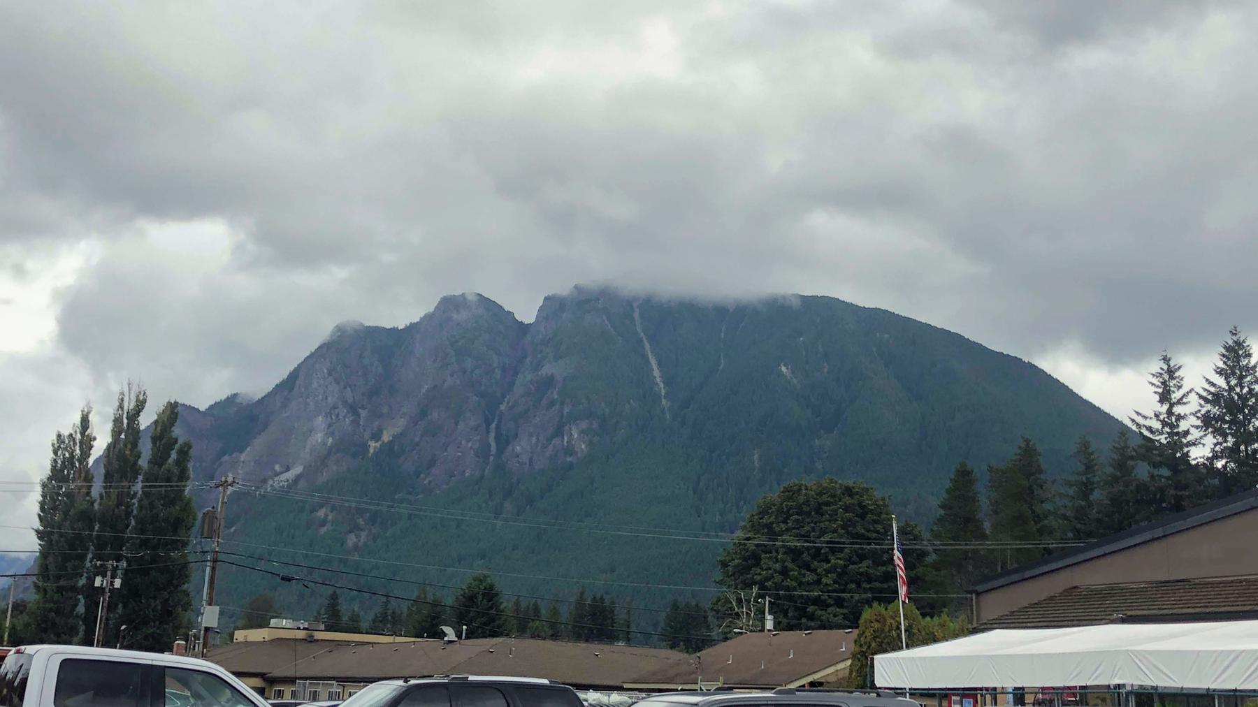
If Mount Si looks familiar to you even though you don’t live near it, maybe you saw it as part of the scenery of the television show Twin Peaks. It sits right next to the town of North Bend, about 30 miles east of Seattle. Formerly a site for logging and quarrying, the beauty of the mountain was preserved through the efforts of state legislator Frances North in the 1970s. It was officially labeled a Natural Resources Conservation Area in 1987.
The Olympic and Cascade mountains defined my landscape growing up in the Puget Sound area, but I never went up any of them. I attribute that to my habit of mentally associating “mountain climbing” with the major challenge of Mount Rainier. I never thought of smaller mountains such as Mount Si. They challenge desk-bound people like myself but can still be done as a single day trip.
Oh, you pronounce “Si” as “sigh” — not “see.”
Getting there
The trail is a short drive from Seattle, but Google Maps gave me a hard time. I ask for directions to Mount Si. It sends me to the base of the mountain, in somebody’s driveway and nowhere near a trail. Then I ask for directions to the Mount Si Trail and it tries to put me on a private road. This happens often enough that the owner put up a sign indicating there was no trail access on their property.
I abandoned Google Maps and found the trail proper a little further up the (public) road. You want to keep your eyes peeled. The sign for the trail is easy to miss if you don’t know the area.
Don’t forget about your Discover Pass! You need one to use the official parking spots, and there’s no public parking anywhere near the trail.
I admit it. I forgot about the pass. Fortunately, you can purchase one at the Ace Hardware in North Bend.
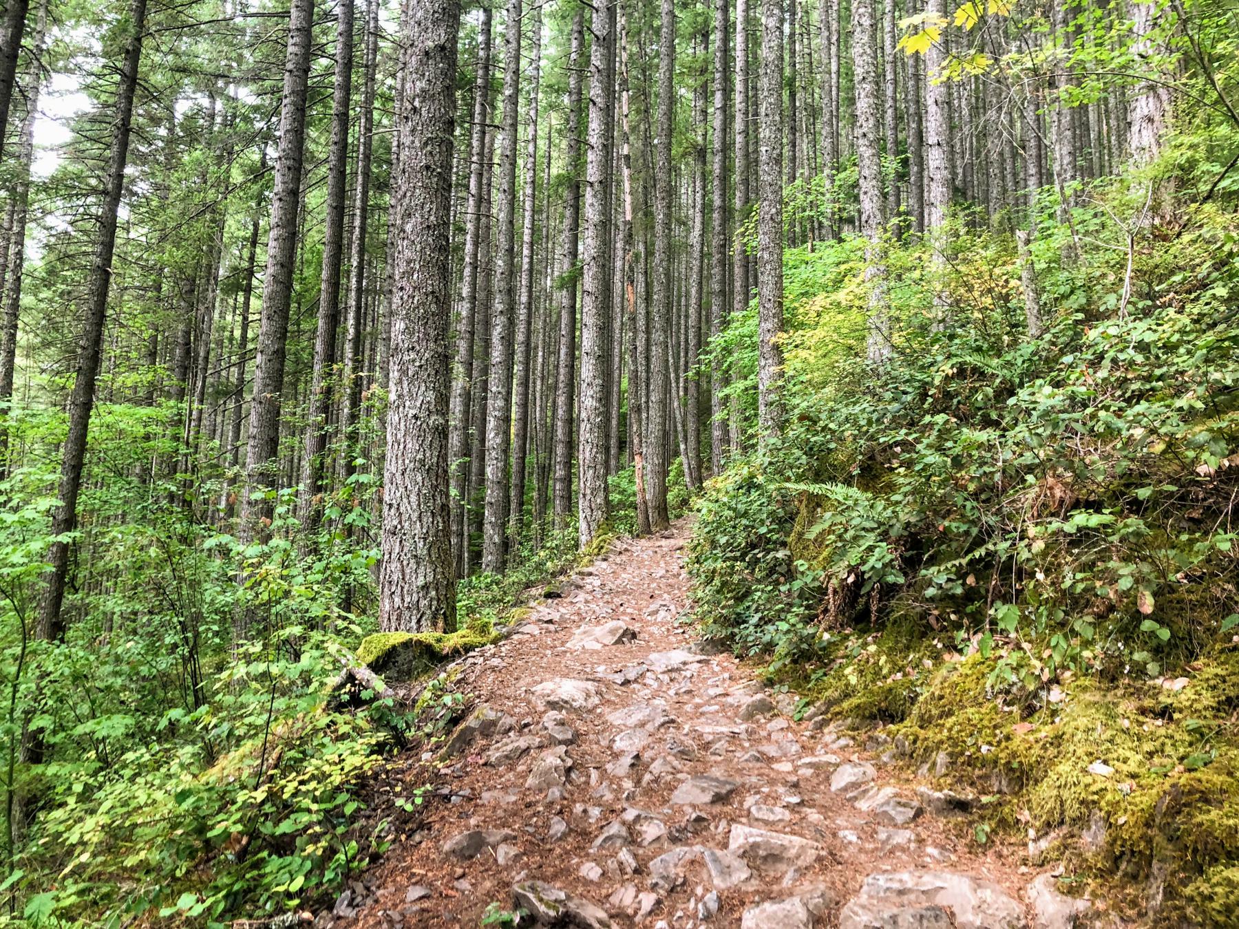
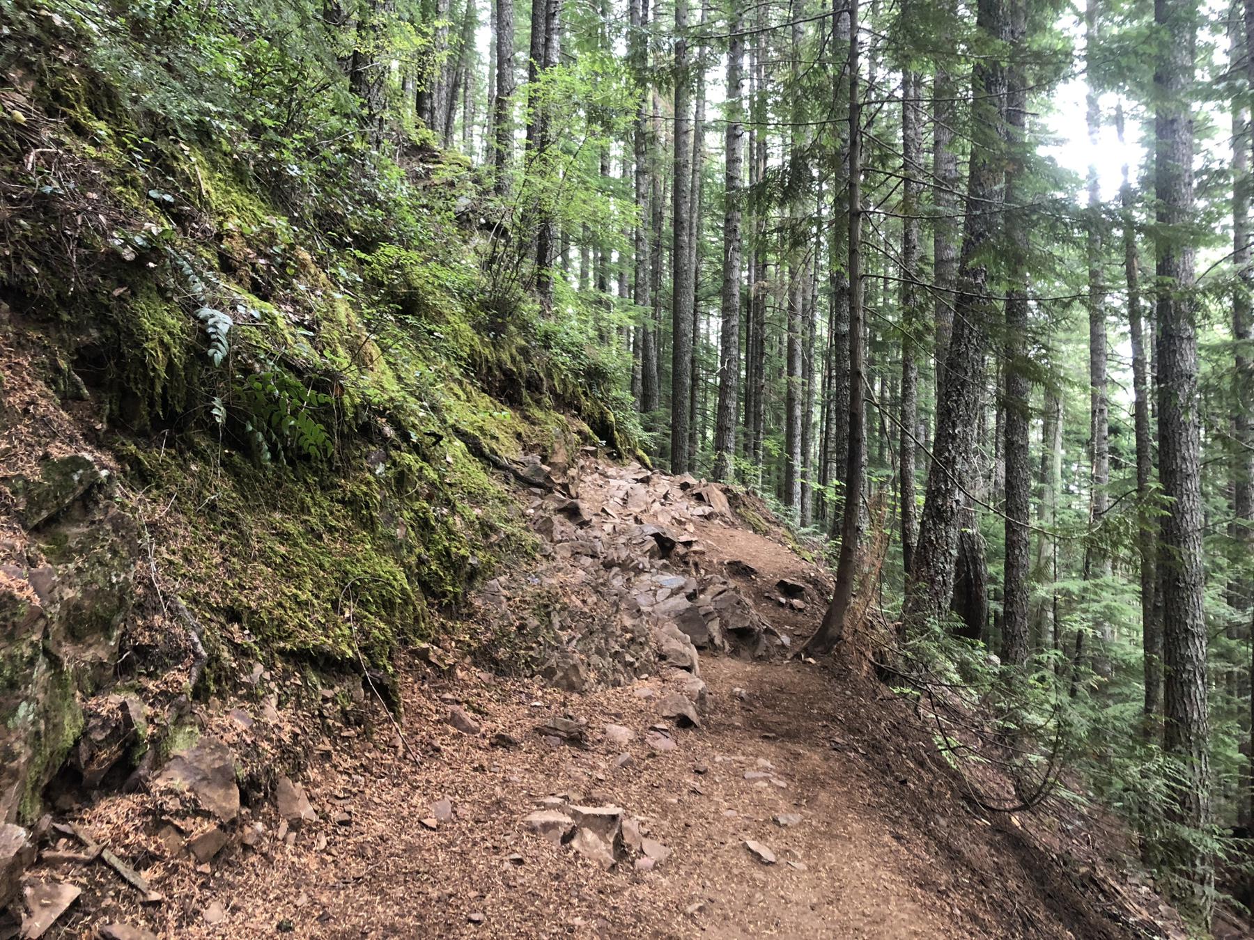
The trail
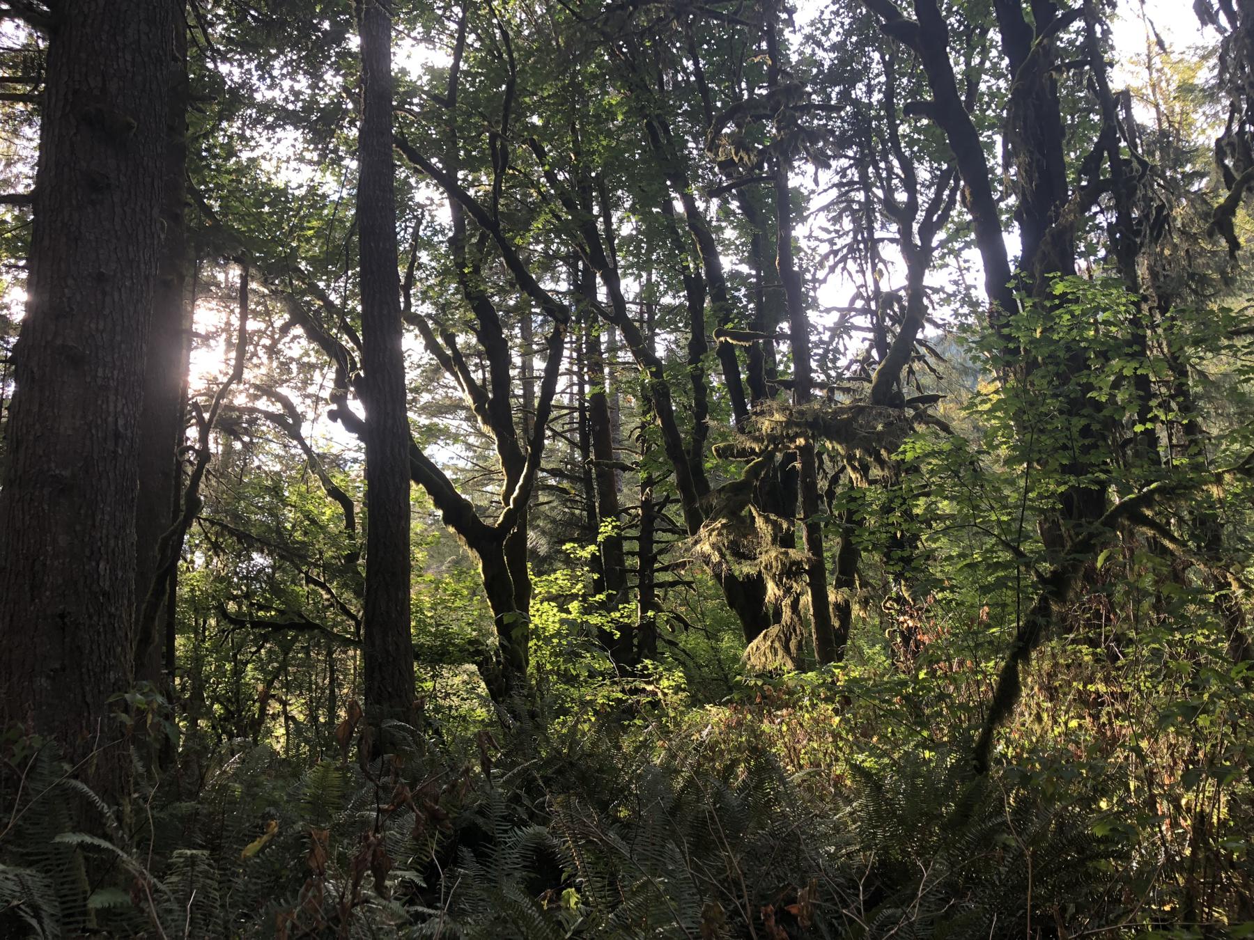
The thing about sauntering up a mountain is that the trail occupies most of your attention. You might miss interesting stuff as you spend a few hours wondering how much trail you have left. Thankfully, the trail itself is pretty interesting. Some spots soft and flat, some spots packed with rocks, and sometimes both!
The trail climbs around 3,000 feet over roughly four miles. A walk like that is easy enough for the experienced, but by the time I was halfway up I needed to rest every few minutes. Thank goodness nobody accompanied me! I bet a veteran walker would have been at best amused, and at worst annoyed, by my pace.
Nobody accompanied me, but I wasn’t alone. This trail gets loads of traffic, and has its own traffic rules.
- If you bring a dog, keep it on a leash, and clean up after it
- People going up get right of way, so people going down need to make room for them.
- Be nice
- Stay tidy — don’t be dropping garbage along the way!
Everybody I encountered stuck with the rules, which were posted on an information board at the trail head. Well, I met a few off-leash dogs, but they were friendly.
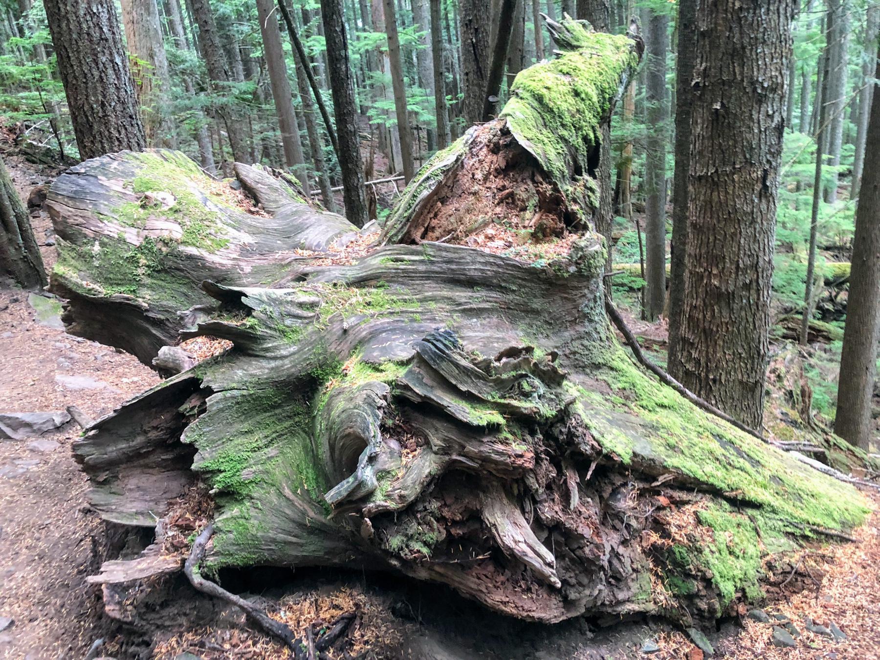
My frequent breaks meant that I saw most sights while leaning or sitting on something, and waiting for my pulse to recover.
For example: my new, attractive, and very comfortable friend Stumpy the Stump.
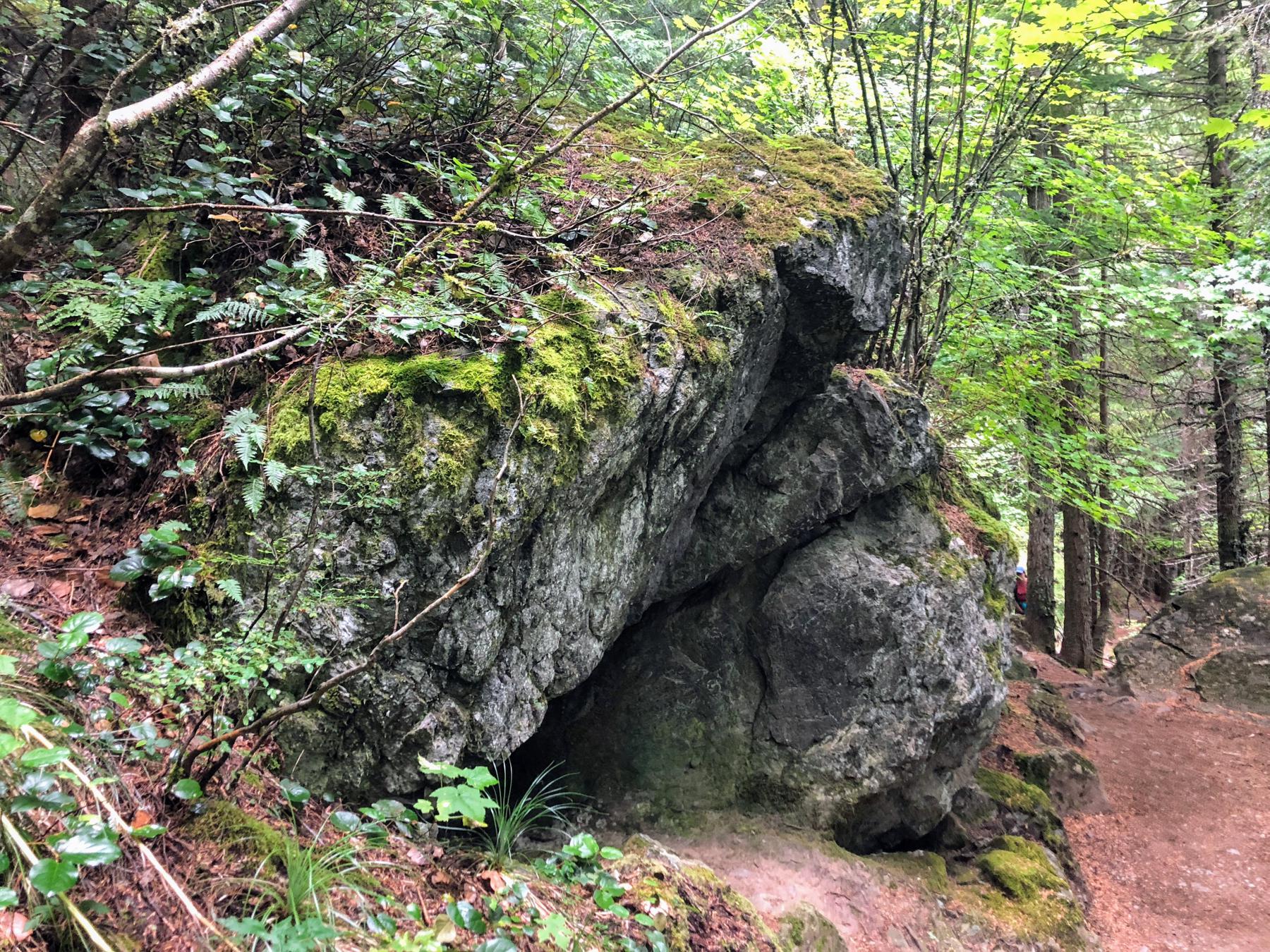
I encountered impressive rocks all over the place. That’s not unusual in the Pacific Northwest, but you rarely see anything so large in Seattle.
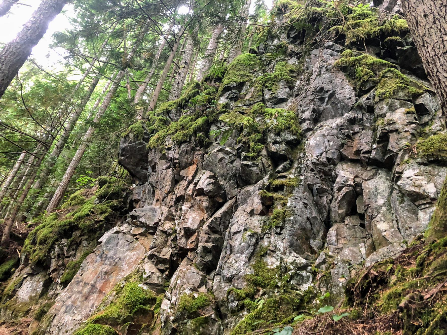
Of course I looked up the details when I got home. These are metamorphic rocks, transformed by intense pressure. Apparently in the distant geological past, there was an oceanic plate volcano. Now, millions of years later, we walk around on it and call it Mount Si.
I can’t help but feel very small and brief when I try wrapping my brain around a geological time scale.
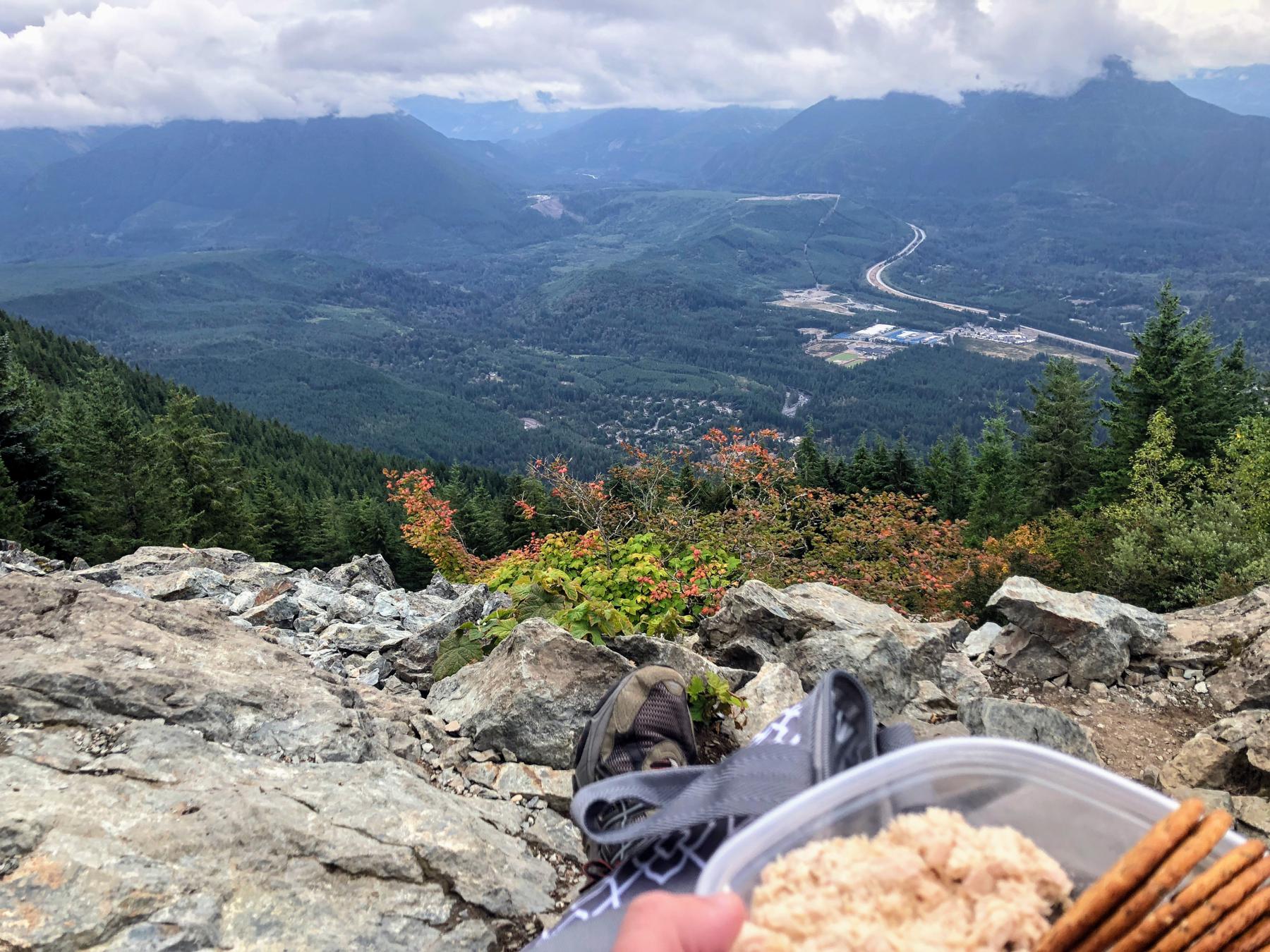
Lunch
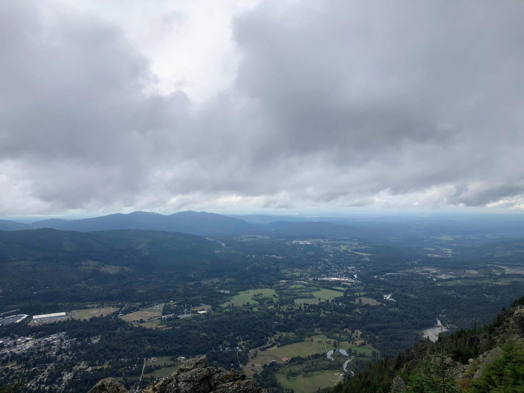
Eventually I ran out of mountain. I paused to have lunch and enjoy the view with half a dozen other like-minded folks.
I encountered few local critters on the way up. That’s probably because the ones that tolerate people knew to stick around up here where folks brought out food. Gray jays, chipmunks, and a wandering raven kept us company.

Keep a tight grip on your meal! One jay grabbed a cracker right out of my hand when a hiker distracted me.
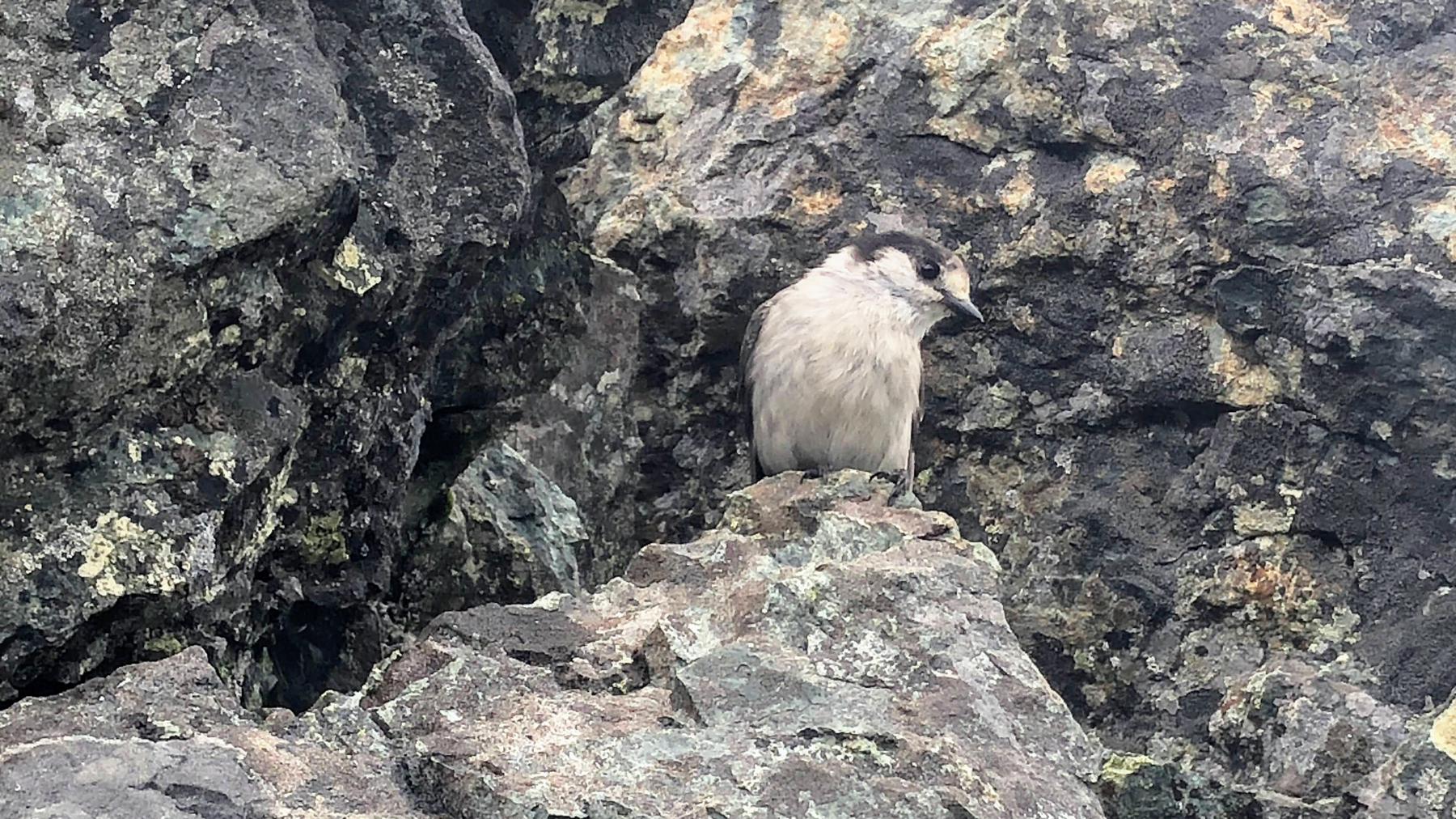
I suppose a bird has to make a living. I can’t be mad when they’re so fearless and just so pretty.
Wandering a little further
So many folks came up, ate their lunch, and headed right back down. That confused me, because I was nowhere near done enjoying Mount Si. Maybe this is just a routine weekend thing for them. Me? Even if this becomes routine I’ll find excuses to stick around longer. Maybe I can bring my knitting.
I had read that the trail extended beyond my lunch spot, so I looked around until I saw the Haystack, an additional 200 feet of rock that marks the proper peak of Mount Si.

I decided against climbing the Haystack this time. Almost halfway, I realized going down would be harder than going up. My body still felt the strain from walking up the mountain in the first place. Next trip.
Got some nice shots before I started back down, though.

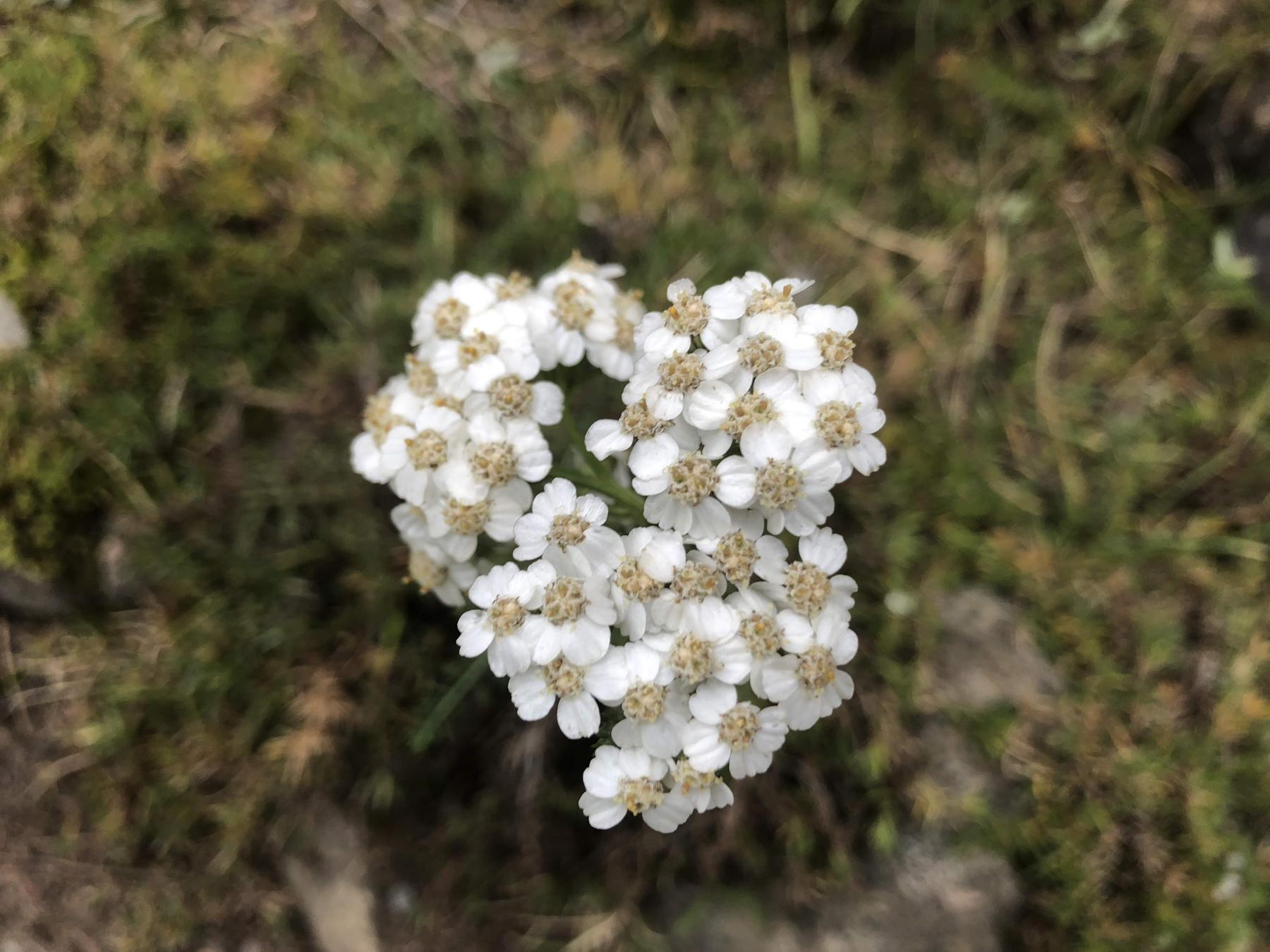
I spent the next hour or so lounging in the overlook between the Haystack and the gray jay crime haven, looking at flowers and appreciating the view.
Surely the view impresses even more on clear days, but clouds are familiar to me. A clear sky would have disoriented me.
A memorial marker placed at the overlook caught my eye.

Later I looked up the name on the marker, and found this nwhikers forumcomment:
Brett Hall was from Lynnwood. His family used to live next door to mine. He disappeared on an intended dayhike on Mt Si with, I think, a group of friends. They searched at the time but didn’t find him; the assumption was that he took a tumble down a hill, or got disoriented, sat down and died of hypothermia. I’m not sure about the January 25th, 1981 date– or why they were hiking in the winter. (I was away at college at the time, so my info was secondhand.) If I recall, his body was found a year or so later after the snow melted.
So, yeah. Caution is smart even on small, popular mountains close to urban centers.
Heading back
Once I rested enough — and my phone started running low on charge after so many pics — I headed back down the trail. Going down took less time than going up. Even so I took care, because those rocks in the path feel ever so solid when your feet are landing on them from above.
The sun came out when I was near the bottom of the mountain, and it was so gorgeous I felt the temptation to climb back up.
My feet would have hated me. Besides, because of my timing, I got back to Seattle at exactly the right moment to get waved at on West Seattle Bridge by a trolley bus full of furries having their own special day! That was an awesome “welcome home!” moment.
The aftermath
I wore better shoes than at island-center-forest, so my feet feel fine today. My knees got more work than usual, but at least I can walk without major discomfort.
One thing is for sure: next time I go walking up a mountain, I bring my Knitting!
Backlinks
Added to vault 2024-01-15. Updated on 2024-02-02